Converting NMEA data to Google Maps is a simple process that involves a few steps. The NMEA data is a type of GPS position data that can be obtained from a GPS receiver or other GPS tracking devices. Google Maps, on the other hand, is a web-based mapping service that provides high-quality satellite imagery, street maps, and 360-degree panoramic street-level views.
To convert NMEA data to Google Maps, you need to follow the steps outlined below:
Step 1: Collect NMEA Data
To begin, you must have some NMEA data to convert. This data can be obtained from a GPS receiver, GPS tracking device, or other similar devices. The NMEA data contains the GPS position information in a standard format that can be recognized by most mapping software.
Step 2: Convert NMEA Data to CSV Format
Next, you need to convert the collected NMEA data into a CSV (Comma-Separated Values) format. Several conversion tools are available online that can help you convert the NMEA data into a CSV format. Simply upload the NMEA file to these tools, and they will automatically convert the data to a CSV format.
Step 3: Import CSV Data into Google Maps
The final step is to import the CSV data into Google Maps. To do this, open Google Maps and click on the three vertical lines in the top left corner of the map. Then click on "Your Places" and select "Maps" from the menu. Click on "Create Map" and give your new map a name.
Next, click on "Import" to upload your CSV file. Choose the file you want to upload and click "Select". Google Maps will automatically show you the data on the map, and you can edit the settings and customize your map as desired.

You May Also Like

M12-to-DB9 Adapter NMEA 2000 CANopen

NMEA 2000 Self-Contained Boat Network

M12 Power Tap T Cable

NMEA2000 Starter Kit
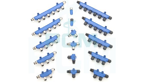
NMEA 2000 Connectors

NMEA2000 Gender Changer